Map Skills (KS2) Made Easy


Gallery
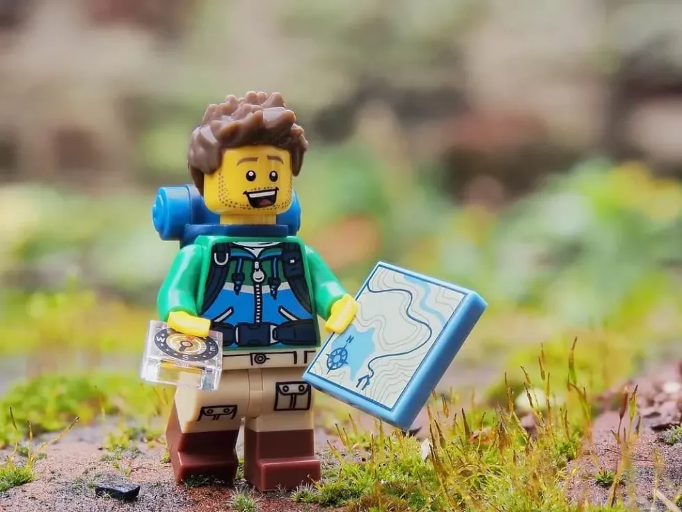
Image © Andrew Martin from Pixabay.
Map skills are the ability to read a map and navigate a journey.
Using paper maps give a sense of adventure, can get you into the great outdoors, and is just a useful skill to know. That is why map skills are an essential part of geography lessons at school.
However, we now live in an age of technology with readily available GPS systems, so we may be a little rusty on our knowledge of using maps. We have all the know-how about map skills for children to make teaching this important skill that much easier.
What Is A Map?
A map is a two-dimensional drawing of a specific area. They can be of a small village or town, a whole city, country, continent, or even be a world map.
They are used to help people get from one place to another without getting lost. They also reveal landmarks like hills and castles. Maps can be on paper, laptops, mobile phones and GPS devices.
Ordnance Survey (OS) is the mapping agency of Great Britain. OS maps are standardised, up-to-date, and accurate. These are the basis of teaching children map skills in Geography class.
Using A Compass
People use a compass to help read a map. A compass shows the four directions: north, east, south, west. North is at the top of a map. A compass needle will always point north, so you can figure out which way is north and match it up to the map.
It is not actually recommended to initially teach children to read a map with the aid of a compass because it can be a bit of a distraction. Rather, it is recommended to use a smaller map and navigate with the aid of GPS as they are a lot less technical.
The Scale and Grid
Maps are not drawn the same size as the ground because maps would be massive and super hard to read. So, maps shrink the size of the area to a smaller scale.
The scale compares distances and is written as a set of numbers, for example, 1:20,000, which means that the actual size of the area is 20,000 times bigger than what is on the map.
The grid is made up of blue boxes across a map. Each side of the box is one kilometre in length. Grid references allow you to find where something is. The first letter/number is the horizontal position and the second letter/number is the vertical position.

Image © Free-Photos from Pixabay
Map Keys, Symbols And Contours
Maps are scaled-down, so it would be really difficult to put everything on there in writing. Map symbols show important areas, landmarks and places. There is a map key that shows what each symbol means and thankfully, they are the same across all OS maps. Here are some examples of map symbols for kids:
- Tourist attractions are shown with blue symbols.
- Different roads use different colours. A main road is red, a motorway is blue and narrower roads are yellow or orange.
- Footpaths are shown with dotted green lines.
Contour lines show high and low areas. One continuous contour line shows an area that is the same height above sea level. When contour lines together are close together, it shows a steep area like a hill or mountain. When the lines are far apart, the land is gently sloping, or undulating.
These features are useful to know when planning a route so you know what your journey will be like.
What Map Skills Are KS2 Kids Taught?
Maps are a key to getting around and that is why it is essential to KS2 Geography lessons. Kids are usually introduced to map skills in Year 4.
The National Curriculum states that children should be able to read large OS maps and identify a broad range of symbols and features. Using a compass is also taught to children, and they usually practice getting around on a field trip.
Teaching Kids To Read A Map

Image © StockSnap from Pixabay
Before you read the map, ensure your child is familiar with map features. Go outside with a small map and choose an area with a lot of different features for your child to experience.
Get them to look around the landscape and relate it to the map. After you have done this a couple of times, try it with the aid of a compass and GPS. A simple outdoor exercise could look something like this:
- Ask kids to find their current location on the map.
- Get them to locate a familiar place on the map and ask them to take you there.
- A treat at the end destination makes the activity extra rewarding!
Did You Know?
Here are some fun facts about the world of maps.
- People who make maps are called cartographers.
- The first maps were created in prehistoric times. Cavemen would mark out their territories on cave walls.
- Ptolemy, a Greek cartographer and mathematician equations that are still used in today's maps.
- In the past maps were made by hand but today they are made by GIS computer systems.
- The first jigsaws were of maps. Jigsaw puzzles were created in the 18th Century to teach maps in Geography lessons.
Fun Activities For Map Skills
There is no need to fret, Kidadl has you covered with free resources so that your and your child are confident with geography.
We have already mentioned going outside, and teaching mapping for kids could be an excellent excuse to travel to different locations across the United Kingdom.
There are loads of ways to make learning map reading skills fun. Have a go at map symbol bingo and try some of these Geography games!
How about something creative? Kids can create their own map for your neighbourhood, a fantasy land or an area from their favourite tale.


We Want Your Photos!
More for You

See All
Bachelor's degree specializing in Economics, Master's degree specializing in Development Management
Danielle OutenBachelor's degree specializing in Economics, Master's degree specializing in Development Management
Growing up in London, Danielle has a Bachelor's degree in Economics from the University of Southampton and a Master's degree in Development Management from the London School of Economics and Political Science (LSE). She has always been surrounded by a big family and loves outdoor activities and adventurous experiences. She has traveled the world in search of new waves to surf. Danielle enjoys discovering new and fun activities to share with her relatives.
Disclaimer
1) Kidadl is independent and to make our service free to you the reader we are supported by advertising. We hope you love our recommendations for products and services! What we suggest is selected independently by the Kidadl team. If you purchase using the Buy Now button we may earn a small commission. This does not influence our choices. Prices are correct and items are available at the time the article was published but we cannot guarantee that on the time of reading. Please note that Kidadl is a participant in the Amazon Services LLC Associates Program, an affiliate advertising program designed to provide a means for sites to earn advertising fees by advertising and linking to Amazon. We also link to other websites, but are not responsible for their content.
2) At Kidadl, we strive to recommend the very best activities and events. We will always aim to give you accurate information at the date of publication - however, information does change, so it’s important you do your own research, double-check and make the decision that is right for your family. We recognise that not all activities and ideas are appropriate for all children and families or in all circumstances. Our recommended activities are based on age but these are a guide. We recommend that these ideas are used as inspiration, that ideas are undertaken with appropriate adult supervision, and that each adult uses their own discretion and knowledge of their children to consider the safety and suitability. Kidadl cannot accept liability for the execution of these ideas, and parental supervision is advised at all times, as safety is paramount. Anyone using the information provided by Kidadl does so at their own risk and we can not accept liability if things go wrong.
3) Because we are an educational resource, we have quotes and facts about a range of historical and modern figures. We do not endorse the actions of or rhetoric of all the people included in these collections, but we think they are important for growing minds to learn about under the guidance of parents or guardians.