Facts About Mexico's Geography That You Will Find Fascinating


Gallery
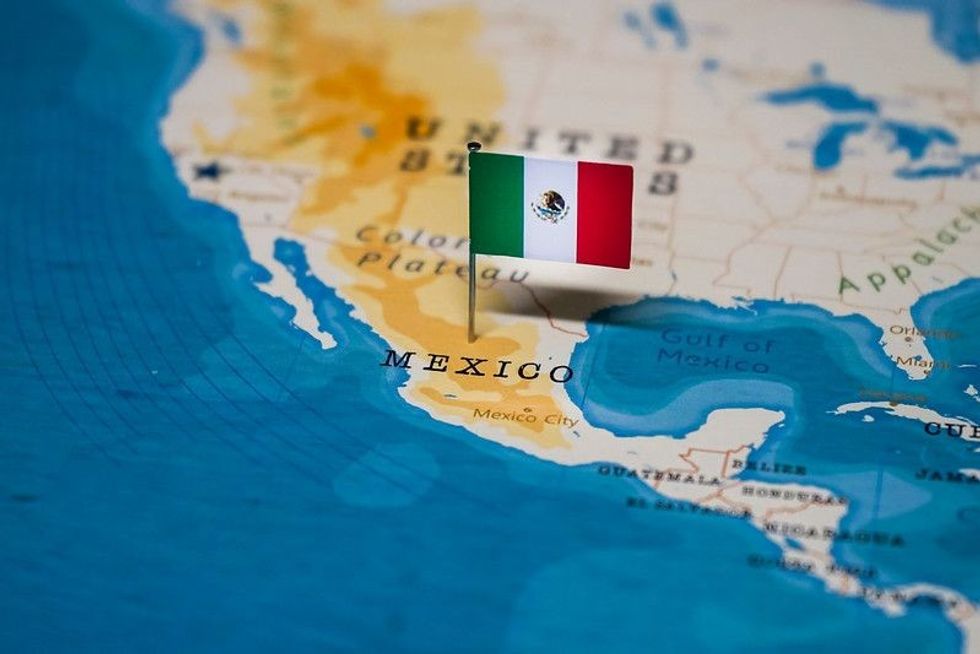
Who would have thought that a country as diverse as Mexico could be home to some of the fascinating geographical features in the world?
From its stunning coastline to its towering volcanoes, Mexico is a country that has it all. As the third-largest nation in Latin America, Mexico is located in southern North America.
Being so close to the United States, it is no wonder that Mexico is often thought of as a part of its northern border neighbor. However, Mexico is very much its own country with a rich culture and history.
It boasts a thriving industrial base, abundant natural resources, and a large population of Spanish speakers. They are roughly 2.5 times that of Colombia or Spain.
The Estados Unidos Mexicanos (United Mexican States) comprises 31 states and the Federal District. With coastal plains, deep canyons, and waterbodies, Mexico, the home of the Maya civilization, is something to learn about.
Mountain Ranges
The Sierra Madre is a massive mountain range that runs entirely through Mexico. It comprises the Sierra Madre Occidental, Sierra Madre Oriental, and Sierra Madre del Sur mountain ranges.
Although the northern part of the plateau is also considered a part of the Basin and Range Province in the United States, these ranges enclose the vast central Mexican Plateau. The plateau is divided by blocks of mountain ranges and substantial ephemeral drainage basins known as bolsones.
The average elevation is 8,000-9,000 ft (2,438-2,743 m), spanning roughly 700 mi (1,127 km) from north to south. The Sierra Madre Occidental, which defines the western border of the Mexican Plateau, is primarily volcanic.
On the eastern end of the Mexican Plateau is the Sierra Madre Oriental, a group of folded mountains made of shales and limestones. It is frequently regarded as the southern extention of the Rocky Mountains.
Sierra Madre del Sur is a range of crystalline mountains approximately 7,000-8,000 ft (2,133-2,438 m) towards the south. A portion of this rough coastal fringe is known as the Mexican Riviera.
Rivers And Other Water Bodies
Mexico's central region is home to the greatest rivers. Lerma River originates in the Toluca Basin and forms Lake Chapala in Jalisco, the largest lake in Mexico.
Pánuco River and its tributaries, the Moctezuma and Santa Mara rivers, are the eastward-flowing rivers. Balsas River and its tributaries water the Balsas Depression and a large chunk of the southern Mesa Central.
Rio Grande, which starts in the United States and serves as a border between the two nations, is the longest river to pass through Mexico. Other bodies of water, like Quintana Roo's Bacalar Lagoon and Michoacán's Lake Pátzcuaro, provide diverse habitats.
The huge lakes and streams once covered much of the southern Mesa Central region before Europeans' arrival. They are still visible in Pátzcuaro and Cuitzeo, located west of Mexico City. Small fishing settlements surround several lakes which are used for fishing.

Climate
In Mexico's central uplands, temperatures range from 59-68 F (15-20 C), whereas in the coastal lowlands, they range from 73.4-80.6 F (23-27 C). In the south, seasonal temperature changes are negligible.
In the northernmost regions of the country, the temperatures can range from 50-86 F (10-30 C) in the summer. The average monthly temperature of Mexico is in the range of 59-77 F (15-25 C), with the mean yearly temperature being 69 F (20.6 C). On average, June to October would see most of the year's continuous rainfall.
The far north experiences an annual rainfall of less than 2 in (50 mm). The southern areas and central highlands have a distinct wet season from June to October.
Average monthly rainfall of 21.7 in (550 mm) in the southernmost sections. The Atlantic and Pacific coasts of the nation are susceptible to storms from July to October. El Niño events significantly impact Mexico's weather.
Seismic Activities
Mexico is on top of three large tectonic plates, making it one of the active regions for seismic activities. The motion of these plates can lead to earthquakes and volcanic activities. The 1985 earthquake in the Acapulco zone killed more than 10,000 people in Mexico City. Volcán de Colima erupted some years after the El Chichón eruption.
Other Miscellaneous Facts
- Mexico was home to the first-ever printing press in America.
- Cacao plants, used to make chocolate, were first found in Mexico.
- The world's largest pyramid in Mexico is called the Great Pyramid of Cholula.
- Mexico has over 500 beaches and more than 10 active volcanoes.
- The country enjoys the coastline protection of the Caribbean Sea, the Pacific Ocean, and the Gulf of Mexico, contributing to its beautiful climate.
- Southern Mexico is home to multiple birds and animal species like parrots and monkeys.
- On the Mexican west coast, gray whales swim from Alaska to breed in Baja, California.
- Sierra de Soconusco range is on the Pacific coast, while Grijalva River Valley is in southeastern Mexico.
- Mesa del Norte Plateau is a part of the inland Mexican Plateau.
- The Yucatán Peninsula is in southeastern Mexico and is surrounded on three sides by the Gulf of Mexico.
- Cinco de Mayo celebrates the Mexican folk music mariachi.
- The federal republic of Mexico has 31 states and one federal district.
- Mexico houses several natural resources, from copper to silver, lead, and natural gas.
- One of the most important and famous Mexican holidays is Dia de Los Muertos. It is recognized worldwide as The Day Of The Dead and involves festive celebrations instead of grieving.
FAQs
How does the geography of Mexico affect its food?
By providing a wide variety of ingredients and flavors from different regions, such as seafood in coastal areas, corn-based dishes in the central region, and spicy cuisine in the south.
What are three of Mexico's water systems?
Three of Mexico's water systems are The Rio Grande, The Lerma River which feeds into Lake Capala, and the Balsas River.
What climate does Mexico have?
Mexico has a diverse climate that ranges from tropical to desert, depending on the region.
What is Mexico's vegetation?
Mexico has a wide variety of vegetation, including tropical rainforests, desert plants, and grasslands.
What are some key landforms located in Mexico?
Some key landforms in Mexico include the Sierra Madre mountain ranges, the Yucatan Peninsula, the Baja California Peninsula, and the Mexican Plateau.
What is Mexico's largest city?
Mexico City is Mexico's largest city, with a population of over 21 million people.
Why is Mexico so mountainous?
Mexico is mountainous due to its location on the Ring of Fire, a volcanic and earthquake-prone area that stretches around the Pacific Ocean.


We Want Your Photos!
More for You


Sources
https://www.mexpro.com/mexico/learn/mexico-geography.html
https://www.worldatlas.com/amp/articles/mexico-s-most-famous-geographical-features.html
http://worldfacts.us/Mexico-geography.htm
https://travel.allwomenstalk.com/geographical-facts-of-mexico/amp.html
https://kids.nationalgeographic.com/geography/countries/article/mexico
See All
Bachelor of Science specializing in Mathematics
Sri DhanyaBachelor of Science specializing in Mathematics
She is a highly skilled professional with six years of experience in writing and a Bachelor's degree in Mathematics from PSG College of Arts and Science. In addition to her professional experience, she has also been actively involved in volunteer work, particularly with children for organizations such as the Spartans Association for Youth and as an ambassador for the Charter for Compassion. With her experience in both writing and volunteer work, Sri Dhanya is a well-rounded professional who brings a unique perspective and diverse skillset to any project she works on.
Bachelor of Arts specializing in Political Science and Sociology

Spandana KantamBachelor of Arts specializing in Political Science and Sociology
Spandana holds a Bachelor's degree in Political Science from Acharya Nagarjuna University. She has a passion for writing and enjoys reading crime and thriller novels while listening to RnB music in her free time.
Disclaimer
1) Kidadl is independent and to make our service free to you the reader we are supported by advertising. We hope you love our recommendations for products and services! What we suggest is selected independently by the Kidadl team. If you purchase using the Buy Now button we may earn a small commission. This does not influence our choices. Prices are correct and items are available at the time the article was published but we cannot guarantee that on the time of reading. Please note that Kidadl is a participant in the Amazon Services LLC Associates Program, an affiliate advertising program designed to provide a means for sites to earn advertising fees by advertising and linking to Amazon. We also link to other websites, but are not responsible for their content.
2) At Kidadl, we strive to recommend the very best activities and events. We will always aim to give you accurate information at the date of publication - however, information does change, so it’s important you do your own research, double-check and make the decision that is right for your family. We recognise that not all activities and ideas are appropriate for all children and families or in all circumstances. Our recommended activities are based on age but these are a guide. We recommend that these ideas are used as inspiration, that ideas are undertaken with appropriate adult supervision, and that each adult uses their own discretion and knowledge of their children to consider the safety and suitability. Kidadl cannot accept liability for the execution of these ideas, and parental supervision is advised at all times, as safety is paramount. Anyone using the information provided by Kidadl does so at their own risk and we can not accept liability if things go wrong.
3) Because we are an educational resource, we have quotes and facts about a range of historical and modern figures. We do not endorse the actions of or rhetoric of all the people included in these collections, but we think they are important for growing minds to learn about under the guidance of parents or guardians.