17 Lake Eyre Facts: A Drainage Basin Lake In South Australia

Gallery

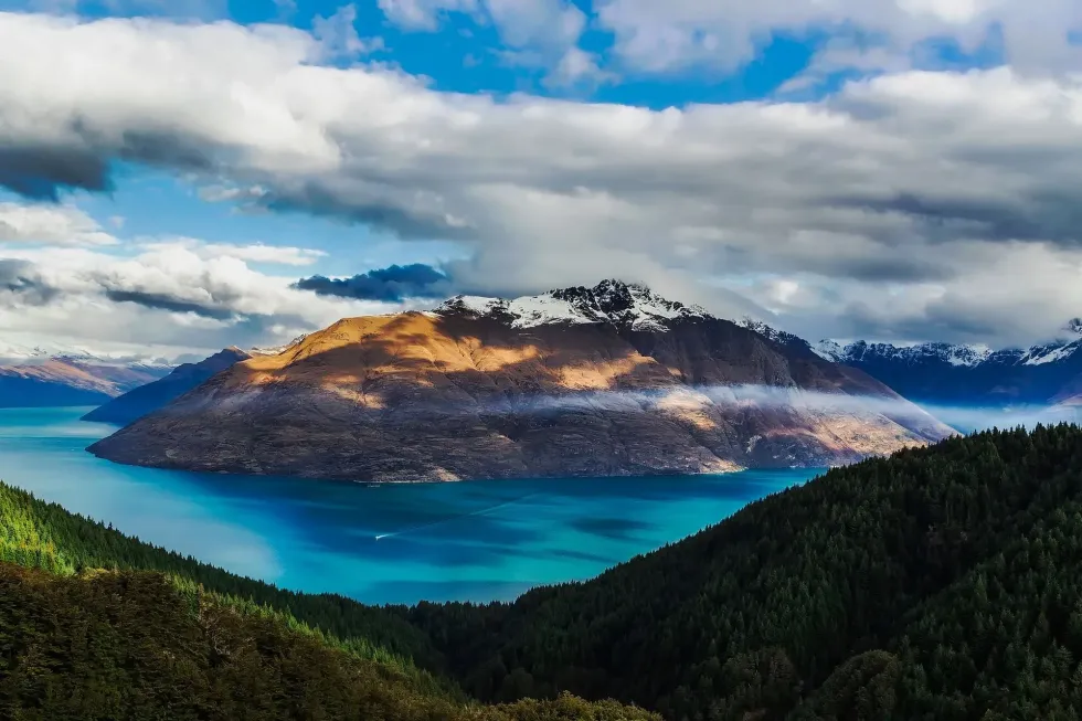
Lake Eyre comprises hardened soil, is almost completely barren, and is the biggest salt lake in Australia.
Known as LakeKati Thanda by the traditional owners of the land, the lake is now officially recognized as Kati Thanda–Lake Eyre to pay respects to the Indigenous owners. It's located 402 mi (647 km) northeast of Adelaide.
It covers almost one-sixth of the Australia surface area. At 19.6 ft (6 m) depth, the lake turns pink in color because of the algae Dunaliella salina, which has a beta-carotene pigment that's pink.
The lake is at the lowest point beneath sea level on the Australian continent at 49 ft (15 m) beneath sea level. It comprises two lakes: Lake Eyre North and Lake Eyre South.
Both these lakes are combined by the Goyder Channel, which is 9.3 mi (15 km) long. Jointly, Lake Eyre North is 89.4 mi (144 km) long, and 40 mi (65 km) wide joined to Lake Eyre South, which is 39.7 mi (64 km) long and 15 mi (24 km) in width.
The water in Lake Eyre arrives at the southern Belt Bay, which is the lake's deepest point. After that, the water spreads wide and flows down to reach Lake Eyre.
If you're considering swimming in this water, the salt will induce sharp pain across your body, which is why swimming here can be excruciating. The Neales River, Finke River, Diamantina River, Cooper Creek, Warburton River, Barcoo River, Georgina River, Strzelecki Creek, Macumba River flow into the lake.
The Topography Of Lake Eyre
Considered one of Australia's largest lakes with an area of 4,281 sq. mi (11,088 sq km), its lowest point is 49 ft (15 m) beneath sea level.
The salinity in the lake has increased over time. Over a six month period 18 in (450 mm) of salt deposits crust melted due to major floodwater, resulting in a massive fish kill and affecting the lake surface.
The lake is less salty than the sea when it reaches 13 ft (4m) deep. The salinity level increases as water evaporates, with saturation taking place at about 20 in (50.8 cm) depth. When saturated, the lake turns a pink tint because of the existence of beta-carotene pigment generated by the alga Dunaliella salina.
The water flowing on the lake is saltier than seawater. The Lake Eyre Basin is a huge endorheic system adjoining the lakebed.
The local creeks deliver water to the lake. More than half of the lake floor has shallow water and Lake Eyre, being an internal drainage basin, accumulates water slowly.
The lake has high evaporation, so the water flowing in evaporates in the succeeding months. The fauna that exists in the lake includes small creatures, the salt lake louse (Halonisus searlie), chameleons, the Lake Eyre dragon (Ctenophorus maculosus), and brine shrimp (Artemia salina).
The lake sources its water from Warburton Creek. You can drive to Lake Eyre's two centers, the small towns of Marree (59 mi or 95 km south) and William Creek (37 mi or 60 km to the south-eastern direction).
There are flights available from William Creek, and Wrightsair has been working on scenic tours. William Creek has a population of only 10 people (according to the 2016 census).
BirdLife International has recognized Lake Eyre as a crucial bird area. When the water in the lake increases, it supports important breeding of rare birds like the banded stilt and pelican.
The History Of Lake Eyre
European English explorer and British colonial official Edward John Eyre was the first European to observe Lake Eyre in 1840, and is who the lake is named after. The area of the lake was determined by the 1870s.
In December 2012, the lake was officially recognized by its Aboriginal name, Lake Kati Thanda, to combine the Lake Eyre name with the original traditional name.
The activities that led to the formation of Lake Eyre began about 200 million years ago. The lake was created when a huge belt of land between the Gulf of Carpentaria and the land of the South Australian salt lakes became submerged.
For thousands of years, Lake Eyre has been a crucial site for Australian Aboriginal people, particularly the traditional custodians of the land, the Arabana people. Indigenous Australians still today consider the lake to have great cultural significance.
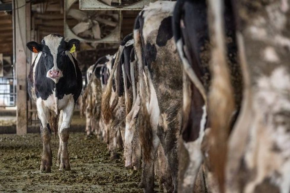
By the mid 1880s, several cattle stations were established in the area. Anna Creek, the largest cattle station in Australia, is on the southeastern side of the lake. There is plenty of bird life around the lake. Silver gulls are a common bird found throughout Australia and particularly in the Lake Eyre region.

Flooding At Lake Eyre
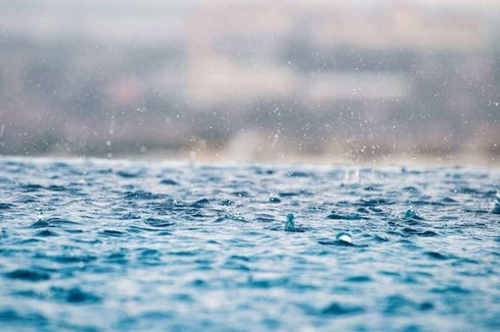
An exceptional amount of rain falls in Lake Eyre, causing floods. Generally, a 5 ft (1.5 m) flood occurs every three years and a 13 ft (4 m) flood every decade. In late January and early February, enormous monsoonal rain over northern Queensland resulted in unprecedented rainfall and devastating flooding.
A huge amount of rain caused massive floods in parts of Northern Queensland and the Northern Territory in 2019. The water flows in to the Georgina, Diamantina, and Warburton rivers. More rainfall in late March saw water crossed vast flood plains, and eventually, the floodwater filled into the Kati Thanda- Lake Eyre.
The data for heavy rain in Lake Eyre South shows 1938, 1955, 1963, 1968, 1973, 1974, 1975, and 1984 as the most affected years for flood water in the region. The lake's floods in 1984 affected South Lake Eyre to North Lake Eyre.
In 1974 water flowed from Lake Eyre North to Lake Eyre South between March and October. Some areas of the extensive catchment areas of the lakes are deserted and are very receptive to even a minor change in rainfall.
There are parts of the lake that aren't classified as desert areas which are used for grazing sheep for wool and cattle for beef. Changing local rain is crucial in providing consistent feed for these animals.
Drought And Lake Eyre
Kati Thanda Lake is the fourth largest lake in the world and is situated in the aridest part of central South Australia. It receives an average rainfall of 5.6 in (140 mm) annually and has an evaporation rate of 8.2 ft (2.5 m).
The Lake Eyre Basin is one of the only Australian drainage divisions that doesn't reach the coast.
Lake Eyre is usually dry, and it fills on average only four times in a century! The lake dries approximately two years after it fills completely (last filled in 1950, 1974, 1984 and 1989), and when it is dry, it becomes hyper-saline.
During hyper-saline, huge quantities of salt, approximately 30 million tons (27 billion kg) (7.5% of Lake Eyre North), are shifted into Lake Eyre South, forging salt crust or salt crusts up to 11.4 in (290 mm) thick in its lowest portion.


We Want Your Photos!
More for You

See All
Bachelors in Business Administration
Aashita DhingraBachelors in Business Administration
Based in Lucknow, India, Aashita is a skilled content creator with experience crafting study guides for high school-aged kids. Her education includes a degree in Business Administration from St. Mary's Convent Inter College, which she leverages to bring a unique perspective to her work. Aashita's passion for writing and education is evident in her ability to craft engaging content.
Disclaimer
1) Kidadl is independent and to make our service free to you the reader we are supported by advertising. We hope you love our recommendations for products and services! What we suggest is selected independently by the Kidadl team. If you purchase using the Buy Now button we may earn a small commission. This does not influence our choices. Prices are correct and items are available at the time the article was published but we cannot guarantee that on the time of reading. Please note that Kidadl is a participant in the Amazon Services LLC Associates Program, an affiliate advertising program designed to provide a means for sites to earn advertising fees by advertising and linking to Amazon. We also link to other websites, but are not responsible for their content.
2) At Kidadl, we strive to recommend the very best activities and events. We will always aim to give you accurate information at the date of publication - however, information does change, so it’s important you do your own research, double-check and make the decision that is right for your family. We recognise that not all activities and ideas are appropriate for all children and families or in all circumstances. Our recommended activities are based on age but these are a guide. We recommend that these ideas are used as inspiration, that ideas are undertaken with appropriate adult supervision, and that each adult uses their own discretion and knowledge of their children to consider the safety and suitability. Kidadl cannot accept liability for the execution of these ideas, and parental supervision is advised at all times, as safety is paramount. Anyone using the information provided by Kidadl does so at their own risk and we can not accept liability if things go wrong.
3) Because we are an educational resource, we have quotes and facts about a range of historical and modern figures. We do not endorse the actions of or rhetoric of all the people included in these collections, but we think they are important for growing minds to learn about under the guidance of parents or guardians.